
Abhishek slaps 10-crore defamation notice on Madan Mitra over 'murderer' jibe
.gif)

Download Mobile App 






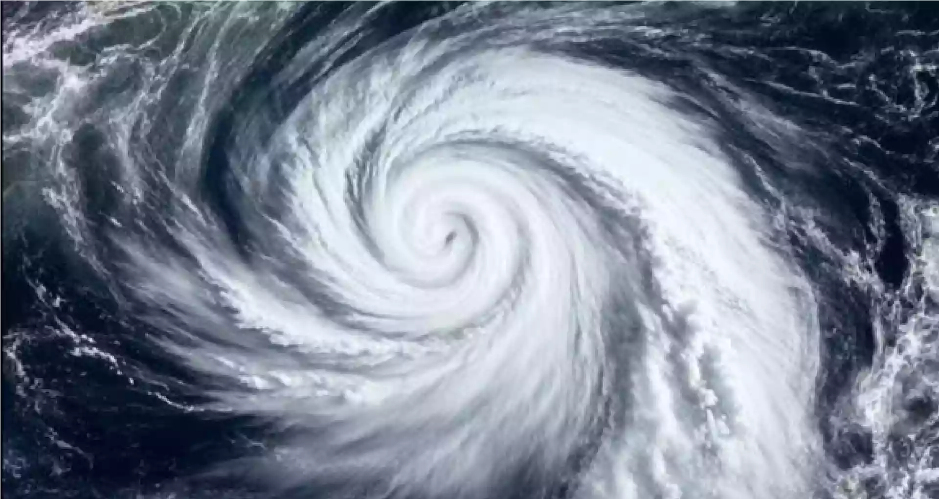
The Bay of Bengal is stirring up trouble again with the birth of another Cyclone named Ditwah—a fast-forming one that's already got southern India's coastal states on high alert. Named by Yemen, meaning "lagoon," this cyclonic storm spun up from a deep low-pressure area in the southwest Bay of Bengal yesterday. Right now, Cyclone Ditwah is moving towards the Indian coast. Its speed has been 8 km per hour as per IMD and as situated 8 km northwest of Sri Lanka's Batticaloa, 480 kilometers south-southeast of Puducherry and 580 kilometers southeast of Chennai. While West Bengal dodges the direct hit, the storm's pull has nudged up temperatures there by a few degrees, offering a brief warm spell amid the usual November chill.
IMD warns Ditwah will skim Sri Lanka's shores before barreling toward the coasts of north Tamil Nadu, Puducherry, and south Andhra Pradesh, possibly slamming ashore early on Sunday, November 30. Heavy to very heavy rains are forecast, with some spots in Tamil Nadu seeing over 20 cm of downpour, triggering red alerts in vulnerable delta districts like Thanjavur and Nagapattinam. Gusty winds of 40-50 kmph could whip up rough seas, and thunderstorms with lightning are likely across Tamil Nadu, Kerala, coastal Andhra, and even the Andaman & Nicobar Islands likely from tommorow. Tamil Nadu Chief Minister MK Stalin has rallied disaster teams statewide, while Andhra Pradesh and Puducherry are gearing up with similar precautions—fishermen are banned from the sea, and residents urged to stock essentials and stay tuned to updates.
In West Bengal, the silver lining is mostly dry weather ahead, but minimum temperatures could climb 2-3 degrees in the next 24 hours, hovering around 17-18°C in Kolkata as of today morning—still below normal. Daytime highs will stay mild at about 27°C under mostly clear skies, with no big swings expected over the next four days. This comes after a recent dip to 16°C in the city, but Ditwah's distant influence means no rain or winds for Bengal. Meanwhile, the storm's predecessor, Cyclone Senyar, weakened after battering Andaman & Nicobar and Indonesia's shores, reminding everyone how the Bay of Bengal can churn out back-to-back whirlwinds in cyclone season.


'If needed, I will go to Delhi': Mamata Banerjee backs CJP protest, calls for opposition unity
.webp)








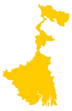 West Bengal
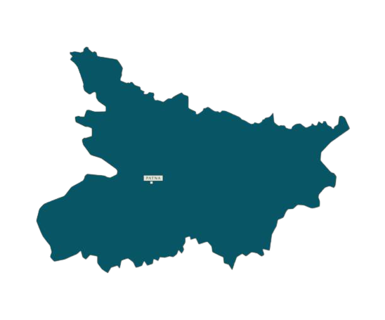 Bihar
Bihar Uttar Pradesh
 Jharkhand